Deliverable 3.2a Published on DTU Data: Metocean Conditions at Selected Locations along US East Coast and North Europe
Deliverable 3.2a, Metocean Conditions at Selected Locations along US East Coast and North Europe, is now available on DTU Data: ESOMOOR project.
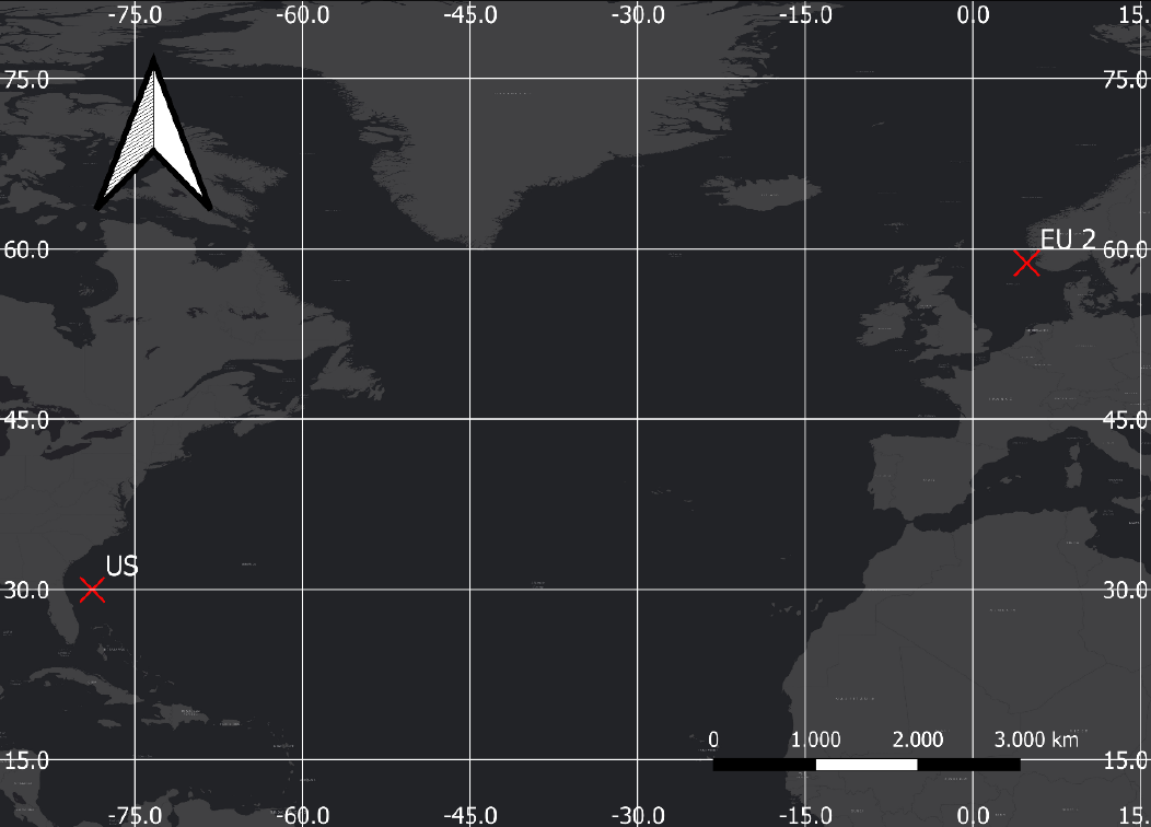
Two locations have been chosen to represent realistic wave climates at different water depths and different locations in the world for the ESOMOOR project. One location is referred to as US, and is located approximately 227 km offshore the northeastern coast of Florida in the US representing a water depth of 799 m (relative to MSL). The other point, EU 2, is located approximately 39 km west of the Norwegian west coast which is located on approximately 243 m (relative to MSL).
The metocean data used for analysis in the current report, is obtained through two different regional models setup by DHI, referred to as North Europe (for the EU 2 analysis location) model and US East Coast (for the US analysis location) model. The data is generated through HD (water levels and current climates) and SW (wave climate) modelling forced with atmospheric modelling dataset.
This deliverable provides comprehensive datasets on the metocean conditions for the two sites, whereas Deliverable 3.2b (available at https://doi.org/10.11583/DTU.30086686) offers a high-level overview for quick reference.